Flat land sells itself, which is exactly why it is rarely cheap. Sloping land is discounted on the assumption that it is difficult, and quite often the discount is bigger than the difficulty. This post gives you the gradient at which a slope genuinely changes your build, the things about levels that actually cost money, and why the flattest site in the search is frequently the wettest.
The gradient that changes the job
There is a defined threshold, and it is worth carrying in your head when you walk a site. Approved Document M Volume 1 measures the plot gradient between the entrance storey finished floor level and the point of access – roughly, where somebody gets out of a car. It then defines:
- Gently sloping – a gradient between 1:60 and 1:20.
- Steeply sloping plot – a plot where the gradient exceeds 1:15.
That matters because step-free access to the private entrance is the default expectation, and it is on a steeply sloping plot that Approved Document M accepts a stepped approach instead. Under 1:15, you are solving a levels problem. Over 1:15, the site is telling you what kind of house it wants: split level, stepped terraces, undercroft parking, entrance at the upper floor.
Run the number before you form a view. A one-metre fall across fifteen metres is the line. On a quarter-acre plot that is not a dramatic slope – it is the sort of fall you would not notice standing on it.
What levels actually cost
The cost is rarely the slope itself. It is the four things the slope drags with it, and you can check three of them from a desk.
- Cut and fill balance. Material you cut and cannot reuse becomes muck-away, priced per load and per mile to the tip. Material you need and do not have becomes imported fill. A design that balances on site is a different project from one that exports 3,000 tonnes.
- Retaining structures. Any retained height near a boundary brings in a structural design, a party wall conversation and often a neighbour’s objection.
- Drainage outfall. The question that kills more sloping schemes than the slope does: where does surface water go, and is your outfall lower than your site? A site that falls away from its only sewer connection is a pumping station.
- Access gradient. The driveway and the adoptable road have their own limits before the house does. A highways officer will have a view on a steep vehicular access long before an architect worries about the plot.
Flat does not mean dry
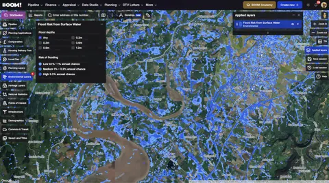
The flattest, easiest-looking plots are disproportionately the ones sitting in a floodplain or at the bottom of a catchment. The Environment Agency’s December 2024 national assessment put 6.3 million properties in England in areas at risk from rivers, the sea or surface water, around 4.6 million of those from surface water.
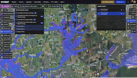
The policy consequence is concrete. Under the National Planning Policy Framework published on 17 August 2026, a site-specific flood risk assessment is required for every proposal in Flood Zones 2, 3a and 3b, and also in Flood Zone 1 for any site of one hectare or more. A flat greenfield site of a hectare gets the survey whether or not it looks wet. See how to screen flood risk before you commit for the order to check things in.
A slope, meanwhile, drains. Not always to somewhere convenient, but it drains. That is a real advantage and it is not priced into the land.
Where the discount becomes a margin
Difficult ground has an explicit place in national policy. Policy L2 of the 2026 Framework says substantial weight should be given to the benefits of remediating despoiled, degraded, derelict, contaminated or unstable land. A scheme that resolves a problem site is arguing with the grain of policy, not against it.
The commercial case for a sloping site usually rests on three things:
- Less competition. Most buyers filter slopes out at the photograph stage, so you are bidding against fewer people for the same planning prospects.
- More usable storeys for the same massing. A lower ground floor cut into a bank is accommodation that reads as a two-storey house from the street. That can matter a great deal where the council has a view on height.
- Outlook. Elevation buys views and privacy. Treat that as a design advantage you can deliver, not as a percentage uplift you can bank – the premium varies far too much by location to carry a national number.
How to read levels before you visit
You do not need a topographical survey to sift a longlist. You need to know, roughly, the fall across the site and which way it goes.
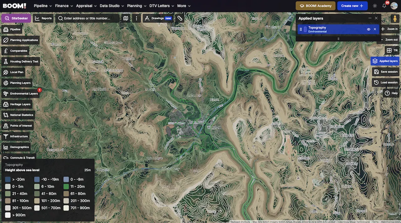
BOOM!’s topography layer colours the map by height above sea level and reports the height at any point you click, so you can read the fall across a boundary and see which way the land drops before you get in the car. It is a screening tool, not a survey – once a site is on the shortlist, a measured topographical survey is what the design gets built on. The topography layer walkthrough explains how the colour bands read.
Levels also interact with the boundary question. A site that falls away from a village can look detached from it in a way that matters to a planning officer – see why the edge of settlement is where the arguments happen.