Flood risk is the constraint that most often turns a cheap site into no site at all. It decides whether you need a flood risk assessment, whether the sequential test applies, whether your buyer can get a mortgage, and whether the council can lawfully approve you at all. This post tells you which flood data actually governs a planning decision, what each source costs you, and how to screen a site before you spend a penny on it.
The scale is worth having in your head. The Environment Agency’s December 2024 National Assessment of Flood and Coastal Erosion Risk found that 6.3 million properties in England sit in areas at risk of flooding from rivers, the sea or surface water – around 2.4 million from rivers and the sea, and around 4.6 million from surface water. With climate change, that could reach about 8 million, roughly one in four properties, by the middle of the century.
Which flood data actually decides your application
Three services matter, and they are not interchangeable. Quote the wrong one in a planning statement and you will be asked to start again.
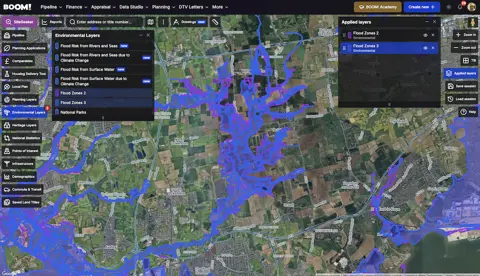
- Flood Map for Planning is the evidential basis for the sequential test. It shows Flood Zones 1, 2 and 3 for river and sea flooding. Since 25 March 2025 those zones have been produced from the second National Flood Risk Assessment (NaFRA2), and Zones 2 and 3 no longer overlap – land is attributed to one zone rather than counted in both.
- Check the long term flood risk for an area in England is the public-facing service. It covers rivers and the sea, surface water, reservoirs and, where available, groundwater, and since January 2025 it also shows potential flood depths and risk allowing for climate change. It is the quickest sanity check on a postcode, but it is not the planning dataset.
- The council’s strategic flood risk assessment is where Flood Zone 3b, the functional floodplain, is actually mapped. The Flood Map for Planning does not distinguish 3b from 3a, so a site that looks like ordinary Zone 3 on the national map can turn out to be land the plan treats as floodplain storage.
Surface water is the risk people miss
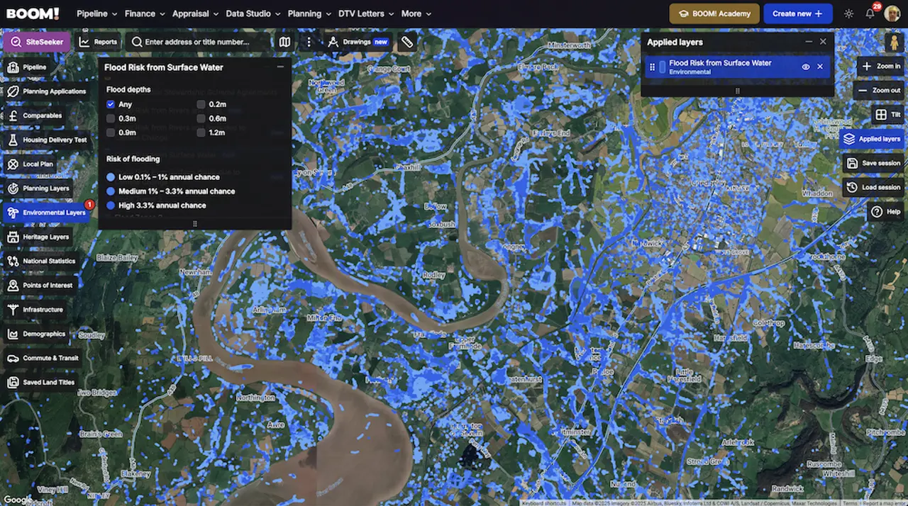
Flood Zones cover river and sea flooding only. They say nothing about rain that cannot drain away, and surface water is now the larger exposure by properties – 4.6 million against 2.4 million. It can strike on high ground, which is why “the site is in Flood Zone 1” is not the end of the conversation.
National policy has caught up with that. Under the National Planning Policy Framework published on 17 August 2026, the sequential test applies to development at risk “from any source” of flooding, now or in the future – not only rivers and the sea. Policy F4 also requires a site-specific flood risk assessment even in Flood Zone 1 where the site is one hectare or more, has been identified as having critical drainage problems, or is shown as at risk from any source on the Flood Map for Planning or in the strategic flood risk assessment.
What flood risk costs you
- Assessment and delay. A site-specific flood risk assessment is required for every proposal in Flood Zones 2, 3a and 3b, and for the Zone 1 cases above. That is a consultant, a drainage strategy and weeks of programme before you know the answer.
- A test you can fail on land you do not own. The sequential test asks whether a reasonably available site exists at lower risk. You can lose on the strength of somebody else’s land. The 2026 Framework narrowed the search area – it should not be greater than the anticipated catchment of the development in terms of its likely occupiers or users – which helps, but does not remove the test.
- Design cost. Raised floor levels, flood-resilient construction, attenuation and exceedance routing all take money off the residual land value, and some of it comes off the developable area too.
- Lending and insurance. This bites at sale, not at purchase. In April 2024 Nationwide stopped lending on a small number of high flood risk homes. If your buyers cannot borrow, your exit is theoretical.
How to screen a site before you spend money
The order matters. Do the free checks first and only pay for advice on sites that survive them.
- Check the Flood Map for Planning for the Flood Zone, and note whether any of the site is in Zone 2 or 3.
- Check surface water and depth on the long term flood risk service, including the climate change view.
- Find the council’s strategic flood risk assessment and look for functional floodplain and critical drainage areas over your boundary.
- Work out whether the sequential test applies, and if it does, be honest about what else is reasonably available in the same catchment.
- Only then commission anything.
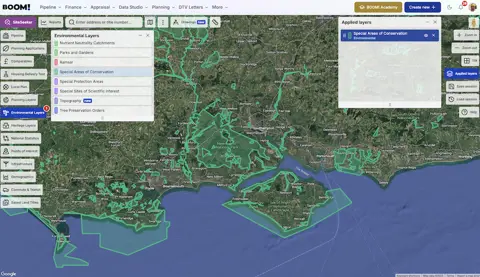
If you want to do this across dozens of sites rather than one, that is what layered mapping is for. BOOM! carries flood risk from rivers and seas and from surface water, each with a climate change version, so you can see the constraint on a site before you have a name for the owner. The layer walkthrough shows how the risk bands and depths work.
Two things worth reading next: the detail on what Flood Zones 2 and 3 actually mean for a scheme, and why the flattest-looking sites are often the wettest.