Edge of settlement land is the strip immediately outside the boundary drawn around a town or village. It is cheap because planning policy has historically treated it as countryside, and it is worth looking at because the National Planning Policy Framework published on 17 August 2026 gives it a named route to permission where a council is short on housing.
This post covers the test that route sets, why “physically well-related to an existing settlement” is the phrase that decides your site, and how to run the search.
Why the edge of settlement opened up
The Planning and Infrastructure Act 2025 received Royal Assent on 18 December 2025, but the change that affects a site sourcer came eight months later, in the revised NPPF.
That framework replaced the old paragraph 11 tilted balance with a presumption that turns on which side of the settlement boundary a site sits. Inside, policy S4 says development should be approved unless the benefits are substantially outweighed by adverse effects. Outside, policy S5 permits only a defined list of development — and item (j) on that list is the one that matters here.
The S5(1)(j) test, in full
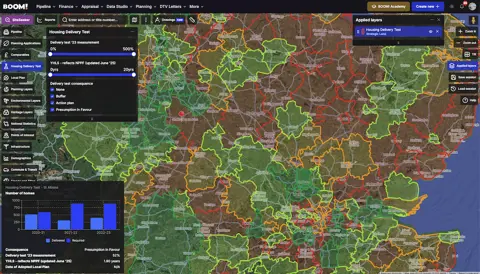
Policy S5(1)(j) covers development addressing an evidenced unmet need. The framework spells out what counts for housing: the local planning authority cannot demonstrate a five year supply of deliverable housing sites, or scores below 75% in the most recent Housing Delivery Test.
Where that applies, the development also has to:
- be physically well-related to an existing settlement, unless the nature of the development makes that inappropriate; and
- be of a scale which can be accommodated, taking account of existing or proposed infrastructure.
Meet those and the proposal should be approved unless the benefits are substantially outweighed by adverse effects — the same test as inside the boundary.
“Physically well-related” is doing all the work, and there is a footnote worth knowing. Where a site is separated from the built-up area by an allocated site that has not yet been built out, the decision-maker should consider whether the proposal would still be in a suitable location if the allocation never happens. A site that only reads as an edge site because of something not yet built is a weaker site.
The boundary is not where you think it is
The NPPF glossary includes within a settlement any land that is allocated or has permission for development which will form part of the built-up area once complete. So a strategic allocation on the edge of town has already moved the settlement outwards for policy purposes.
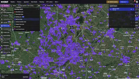
Two consequences. The land beyond a large allocation may now be edge of settlement rather than open countryside. And if you are buying on the strength of a boundary printed in a 2019 local plan, you are working from the wrong line. Check how settlement boundaries are defined and where they move before you commit.
Where grey belt fits
Policy S5 does not apply to Green Belt land at all — GB6, GB7 and GB8 do. If the edge of your target town is Green Belt, the route is grey belt under GB7(1)(g), which uses the same evidence of unmet need but adds the Golden Rules for major housing.
Plan-making leans the same way. Policy GB4 tells authorities releasing Green Belt land to give priority first to previously developed land, then to grey belt that is not previously developed, then to other Green Belt. The grey belt guide sets out the four tests and what the Golden Rules cost.
The commercial case
- Entry price. Land outside the boundary trades at or near agricultural value plus hope value, because the policy position has historically been hostile;
- Deliverability. An edge site plugs into existing roads, drainage, schools and shops. That is not just cheaper — it is the argument that satisfies the scale and infrastructure limb of the test;
- Scheme size. A 10 to 50 unit edge site is too small for the volume housebuilders chasing strategic urban extensions, and large enough to clear the sustainable location hurdle that kills two- and three-plot schemes on appeal.
One number to hold onto: on grey belt appeals analysed by GapSense and published in July 2026, major residential schemes of 10 or more homes succeeded 77% of the time where the land was accepted as grey belt, against 31% for schemes of two to nine homes. Scale helps because connection to a settlement is easier to demonstrate at scale.
How to run the search
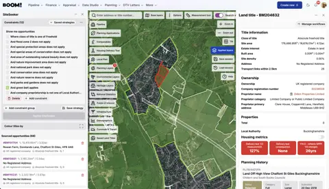
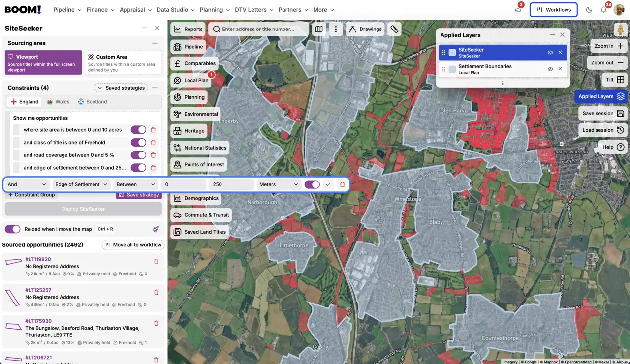
Finding edge sites by hand means cross-referencing a policies map against ownership, one village at a time. SiteSeeker holds settlement boundary as a constraint and an edge of settlement distance filter, so the search is a query.
- Pick the districts first, not the sites. Screen for authorities with a five year supply shortfall or a Housing Delivery Test score below 75%. Outside those districts, S5(1)(j) is not available and the rest of the search is wasted;
- Set a distance band. A band of 0 to 500 metres from the boundary is a practical starting point. It is a sourcing heuristic rather than a policy line — the framework asks whether land is physically well-related to the settlement, not how many metres away it is. Tighten or widen it by settlement;
- Layer the constraints. Add land use, and exclude National Parks, National Landscapes and the other designations that carry their own refusal policies;
- Test the relationship on the imagery. Is there a defensible boundary — a road, hedge line, watercourse — on the far side? Is there a credible access from an existing street? A parcel that reads as a logical rounding-off is a different proposition to one that projects into open countryside;
- Check the planning history of the site and its neighbours. A refusal from 2021 in a district that has since lost its housing supply was decided under a policy test that no longer exists.
Approaching the owner
The best edge sites are not on the market. They are owned by farmers and long-standing residents who have no reason to know the policy has moved. BOOM! resolves title and ownership on the parcels your search returns, and its direct-to-vendor tools let you write to the owner without going through an agent.
The honest caveat
Everything above rests on a council’s housing position, and housing positions recover. A district that fails the Housing Delivery Test this year can pass next year, and Annex A of the framework protects an authority with a recently adopted plan that is delivering. Buy on the fundamentals of the site — relationship to the settlement, access, infrastructure — and treat the policy window as what shortens the timescale, not as what makes the deal.