A Special Area of Conservation is the strongest ecological designation in the English planning system, and the reason it catches people out is that your site does not have to be in one. If your scheme could have a likely significant effect on an SAC — through drainage, recreational pressure, air quality or water abstraction — the council has to carry out an appropriate assessment before it can grant anything.
There are 242 SACs in England, covering around 1.07 million hectares, according to JNCC’s national site network figures at 24 April 2026. This guide covers what actually triggers the assessment, what the test is, and how to work out on day one whether a site is exposed.
What a Special Area of Conservation is
An SAC is a site designated for habitats and species listed under the Habitats Directive, now carried into domestic law by the Conservation of Habitats and Species Regulations 2017. Since leaving the EU these sites form the UK’s national site network rather than Natura 2000, but the legal protection is unchanged.
In planning the relevant term is habitats site, and it is broader than SAC. The August 2026 NPPF glossary defines it as anything within regulation 8 of the 2017 Regulations, plus candidate SACs, Special Protection Areas, listed or proposed Ramsar sites, relevant marine sites and compensatory habitats. In practice the same protection applies to all of them.
Ramsar sites changed in 2026. They used to be protected by policy rather than statute, which mattered because policy can be outweighed. Part 1 of Schedule 5 to the Planning and Infrastructure Act 2025 came into force on 21 May 2026 under SI 2026/549, putting Ramsar sites in England on the same statutory footing as European sites. The change does not apply to a project authorised by a planning permission granted before 17 August 2020.
What the test actually is
Policy N6(1)(a) of the National Planning Policy Framework published on 17 August 2026 says a proposal affecting a habitats site should be refused unless one of the following applies:
- An appropriate assessment concludes the proposal will not adversely affect the integrity of the site, alone or in combination with other development; or
- The proposal satisfies the derogation tests — no feasible less damaging alternative, imperative reasons of overriding public interest, and secured compensatory measures maintaining the coherence of the network; or
- The impact is being addressed through an Environmental Delivery Plan which has been made, and the developer has committed to paying the nature restoration levy.
Two things follow that matter commercially. First, “in combination” means your small scheme can fail on the cumulative effect of everything else consented in the catchment, even where its own contribution is trivial. Second, the derogation route is not realistically open to a private housing scheme — imperative reasons of overriding public interest is the language of strategic infrastructure, not of eleven houses. For most readers of this article there is one usable answer: demonstrate no adverse effect.
The Environmental Delivery Plan route is new and not yet usable. It comes from Part 3 of the Planning and Infrastructure Act 2025, which received Royal Assent on 18 December 2025. Natural England is preparing the first plans, and as at September 2026 none had been made. It will eventually let a developer pay a levy rather than source its own mitigation.
The costs that land before you get an answer
The habitats regime is expensive in a specific way: it front-loads the spend. You pay for the evidence that determines whether you have a scheme at all.
- Recreational pressure contributions. Where a designated site is being damaged by visitor numbers, authorities operate a zone of influence and collect a per-dwelling contribution. Around Epping Forest SAC that zone of influence is 6.2 kilometres, and residential applications inside it have to address recreational impact. Around the Thames Basin Heaths the strategic access management and monitoring tariff runs from £596.09 for a one-bedroom dwelling to £1,575.37 for five or more from 1 April 2026, on top of a separate contribution towards alternative greenspace. Neither is CIL; both are secured by section 106.
- Survey seasons, not survey costs. The bill for ecology is rarely the problem. The calendar is. Breeding bird surveys, bat activity surveys, great crested newt surveys and reptile surveys all have defined windows, and missing one can push a determination by a full year.
- Nutrient budgets. Where an SAC is failing on nutrients, the assessment becomes a nutrient neutrality exercise with its own mitigation cost. That is covered in detail in the nutrient neutrality guide.
What happens if you damage one
Most SACs in England sit on top of a Site of Special Scientific Interest, which is where the criminal liability lives. Under section 28P of the Wildlife and Countryside Act 1981, intentionally or recklessly damaging the features for which land is of special interest is an offence carrying an unlimited fine, on summary conviction or on indictment. The old £20,000 magistrates’ court cap was removed on 12 March 2015 and any guide still quoting it is out of date. A restoration order can follow on top.
Biodiversity net gain does not discharge a habitats obligation
This is a recurring and expensive mix-up. Statutory biodiversity net gain and the Habitats Regulations are separate regimes with separate accounting. Buying biodiversity units does not answer an appropriate assessment, and being exempt from BNG does not exempt you from the Habitats Regulations. The new BNG exemption for sites of 0.2 hectares or below, in force from 6 August 2026, has no bearing on whether your scheme affects an SAC.
How to check a site before you commit
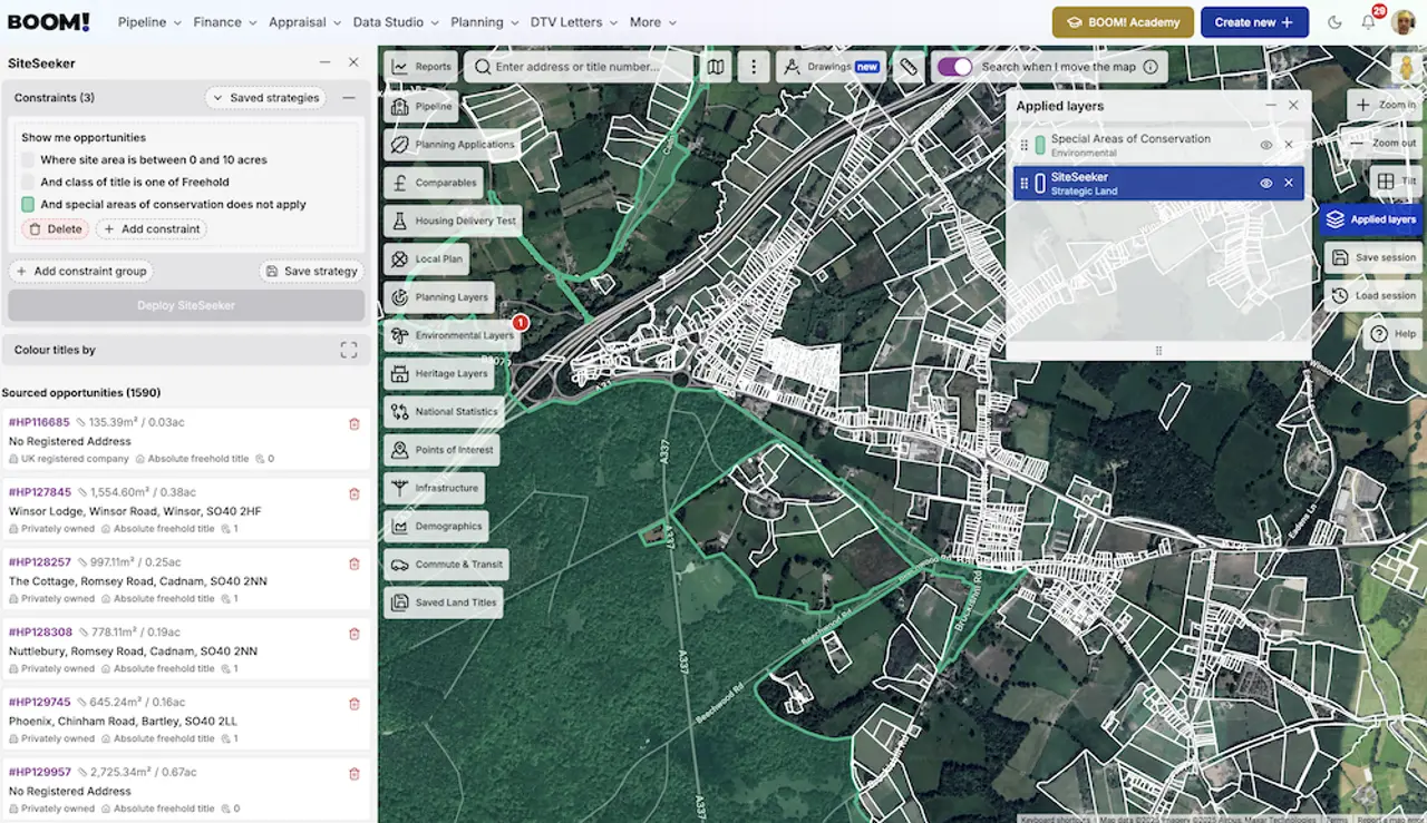
Work outwards from the site rather than inwards from the designation, because proximity is not the trigger — connectivity is.
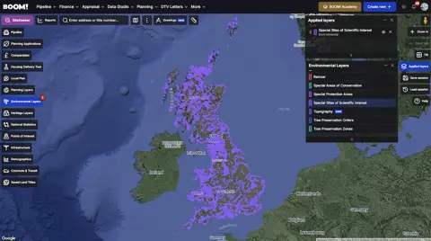
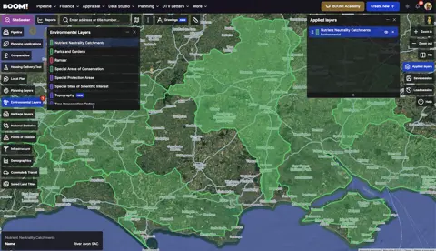
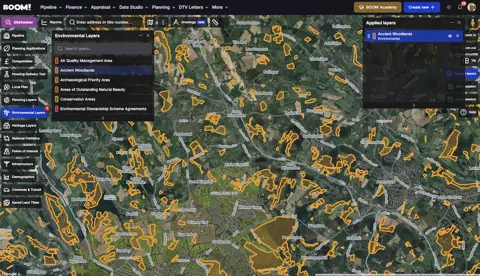
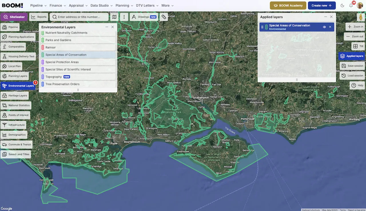
- Map the designations first. SACs, SPAs, Ramsar sites and SSSIs are all published as open data. In BOOM! each of them is a Data Studio layer and a SiteSeeker constraint, so you can exclude affected land from a search rather than checking sites one at a time.
- Check the SSSI Impact Risk Zones. Natural England’s SSSI Impact Risk Zones dataset tells you which development types near a given site trigger consultation with Natural England, and it covers the SACs, SPAs and Ramsar sites those SSSIs underpin. It is the closest thing to a published answer on whether your scheme is in scope.
- Read the conservation objectives. Every habitats site has published conservation objectives and a supplementary advice package on Natural England’s Designated Sites system. They tell you which pressure the site is failing on — nutrients, air quality, hydrology, recreation — which is the pressure your assessment will have to answer.
- Ask the council which strategy applies. In most affected areas the mitigation is already scripted: a standard per-dwelling tariff, a named mitigation scheme, a calculator. Getting that in writing at pre-application turns an unpriceable risk into a line in the appraisal.
When to walk
A site inside an SAC is not a development site. A site near one usually is, at a cost you can find out before you commit. The deals that go wrong are the ones where nobody establishes which of the two they are holding until after exchange — and, following the Supreme Court’s decision in C.G. Fry & Son Ltd [2025] UKSC 35, an existing outline permission does not settle it either. The appropriate assessment can be required at reserved matters or at discharge of conditions.
The same principle runs through every ecological designation. If your interest is in the land quality and irreplaceable habitat side of the picture, the ancient woodland guide covers the one constraint that cannot be mitigated at all.