You can build on Green Belt land, and you do not need very special circumstances to do it — you need your scheme to fall inside one of the categories the NPPF already treats as appropriate. There are eight of them. Four are realistic for a small developer or land sourcer, and this post covers those, as they stand in the National Planning Policy Framework published on 17 August 2026.
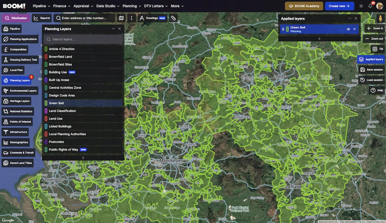
Green Belt covered 1,633,220 hectares at 31 March 2025, around 12.5% of England, across 177 local authorities. That is a lot of land to write off on a rule of thumb.
What Green Belt policy actually says
Green Belt exists to prevent urban sprawl by keeping land permanently open. Its essential features are openness and permanence, and the framework attaches great importance to both.
Policy GB6 does the work. Development in the Green Belt is inappropriate unless it falls within one of the categories in policy GB7. Inappropriate development is harmful by definition and should not be approved except in very special circumstances, which exist only where the harm — with substantial weight given to harm to openness — is clearly outweighed by other considerations.
Read that the right way round. Very special circumstances are the hard route. The four strategies below avoid needing them, because GB7 says the development is not inappropriate in the first place.
1. Redevelop previously developed land
GB7(1)(e) treats the redevelopment of previously developed land, including a change of use to residential or mixed use, as not inappropriate, provided it would not cause substantial harm to the openness of the Green Belt. Disused works, depots, nurseries, kennels, garages and large areas of lawfully created hardstanding all qualify.
Check the NPPF definition before you commit. Previously developed land excludes land last occupied by agricultural or forestry buildings, residential gardens, parks, recreation grounds and allotments, and land where the remains of the old structure have blended back into the landscape.
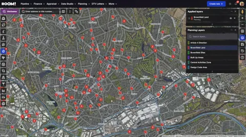
The practical move is to design to the existing built volume. Openness is judged spatially and visually, so a scheme that reduces or matches what is there gives the case officer a short paragraph to write instead of a long one. Start with the council’s brownfield land register, which every authority has to maintain under the Town and Country Planning (Brownfield Land Registers) Regulations 2017.
2. Limited infilling in villages
GB7(1)(c) allows limited infilling in villages that lie within the Green Belt. That is a gap in an otherwise built-up frontage, not an extension of the village into open land.
“Limited” is not defined nationally, so it is decided locally and on appeal. Look at the local plan for a definition, and at what the council has actually approved on comparable plots in the last three years — that is the real policy.
Two supporting points are worth knowing. Villages within the Green Belt are not identified as settlements for the purposes of the plan’s spatial strategy, so the usual settlement boundary policies do not apply to them in the same way. And in a Green Belt assessment, villages are not treated as large built-up areas, which changes how nearby land scores.
3. Replace an existing building
GB7(1)(b) covers the reuse, extension, alteration or replacement of an existing building, provided the building is of permanent and substantial construction and lawful in planning terms. A replacement building must be for the same use and not materially larger than the one it replaces.
The NPPF sets no percentage for “materially larger”, and you should distrust anyone who quotes one as national policy. Some local plans set a figure; most leave it to judgement on volume, footprint, height and visual impact. Establish lawfulness first — a structure that has lost its planning use or was never lawful is not a starting point, it is a problem.
For extensions and alterations the test is different again: no disproportionate increase in size over the original building, which the NPPF defines as the building as it stood on 1 July 1948, or as first built if later.
4. Class Q barn conversions
Class Q is a permitted development right rather than an NPPF route, and it works in the Green Belt. It allows the conversion of agricultural buildings to houses subject to prior approval instead of a full application.
The limits, as amended with effect from 21 May 2024, are a cumulative maximum of 10 dwellings and 1,000 square metres within an established agricultural unit, with no single dwelling exceeding 150 square metres. The building must have been part of an established agricultural unit on 24 July 2023, or for at least ten years before development begins.
Class Q does not apply on article 2(3) land — National Parks, National Landscapes, conservation areas and World Heritage Sites. Green Belt is not article 2(3) land, which is why this route survives where others do not. The guide to permitted development rights covers how prior approval works and what else Part 3 allows.
Grey belt: the fifth route
GB7(1)(g) allows development on grey belt land — Green Belt that is previously developed or does not strongly contribute to purposes (a), (b) or (d) in policy GB2. It has four conditions: the development must not fundamentally undermine the purposes of the remaining Green Belt, there must be an evidenced unmet need, the location must be sustainable, and major housing must meet the Golden Rules in GB8.
“Evidenced unmet need” has a specific meaning for housing: the authority cannot demonstrate a five year supply of deliverable sites including the relevant buffer, or its Housing Delivery Test result is below 75%. That makes grey belt a district-by-district proposition rather than a national one. The grey belt guide covers the definition, the Golden Rules and the appeal evidence in full.
New in 2026: homes near well-connected stations
The August 2026 framework added GB7(1)(h). Residential and mixed-use development in the Green Belt is not inappropriate where it is within reasonable walking distance of a well-connected station, is physically well-related to the station or its settlement, is of a scale the infrastructure can take, and does not prejudice long-term comprehensive development of the same location. Major schemes still have to meet the Golden Rules.
The NPPF puts numbers on both terms. Reasonable walking distance is around 800 metres, or around ten minutes’ walk where topography or barriers get in the way. A well-connected station is one in a top 80 English Travel to Work Area by gross value added, served throughout the weekday daytime by at least four trains or trams an hour overall, or two an hour in one direction. More on how to work that catchment in the post on station-based development.
Sourcing Green Belt sites that fit a route
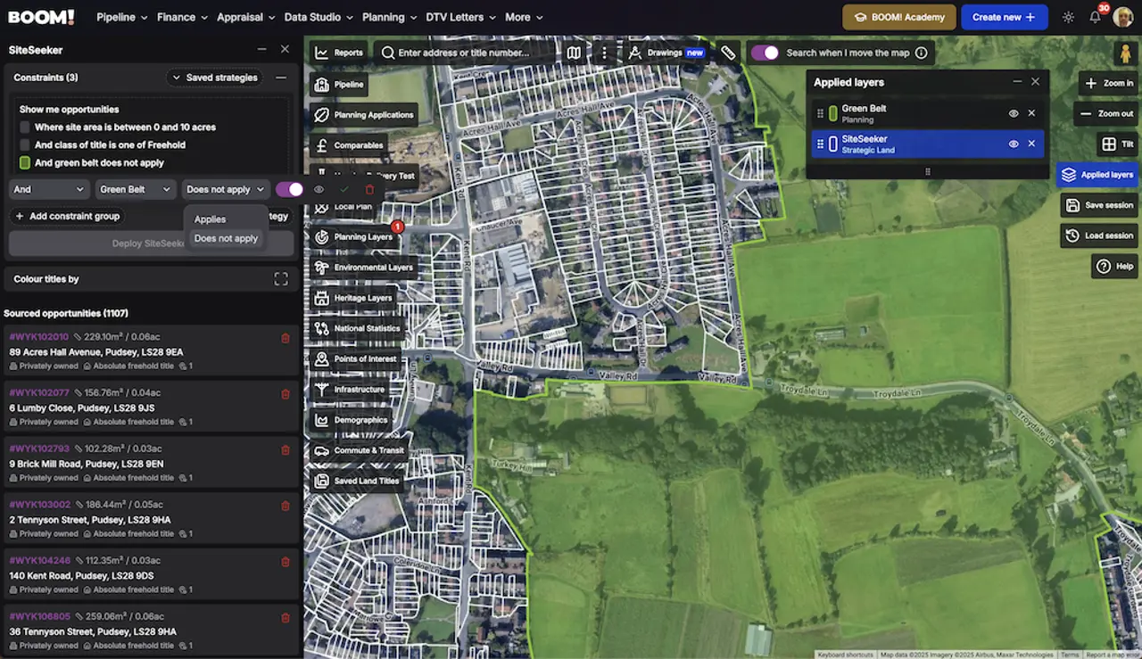
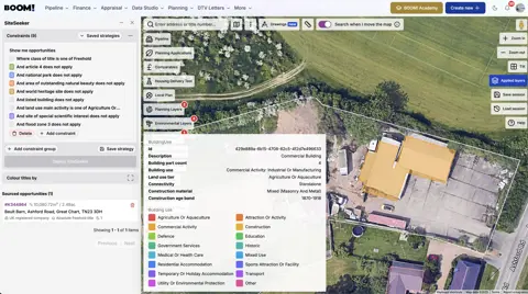
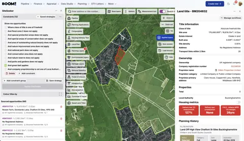
Every route above is a filter, not a hunch. Previously developed land in the Green Belt, gaps inside Green Belt village frontages, existing buildings on Green Belt parcels, agricultural buildings outside article 2(3) land, grey belt candidates in districts short of housing supply — each is a query over ownership, land use and constraint data rather than a drive round.
BOOM!’s SiteSeeker holds a Grey Belt strategy you can refine with brownfield status and land use classification, and there is a free tool that tells you whether a postcode is affected by Green Belt before you go any further.