“Built-up area” gets used to mean two different things, and only one of them decides your planning application. One is a statistical geography published by the ONS. The other is the settlement boundary your council drew in its local plan. Buy land on the strength of the wrong one and you have bought a field.
This post separates them, then covers what national policy now says about land inside and outside the line that counts.
Two definitions, one word
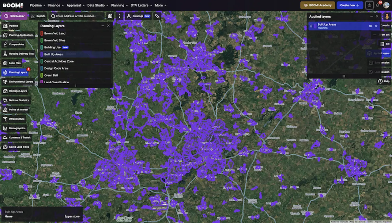
The ONS built-up area is a statistical boundary derived from the physical extent of development. On the Census 2021 definition there were 6,439 built-up areas in England, covering 11.0% of the country — about 1.5 million hectares — and home to 94.9% of England’s population. It is useful context. It has no status in a planning decision.
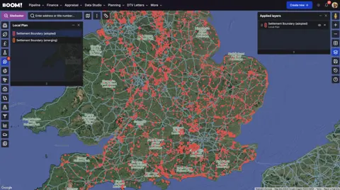
The settlement boundary is a line on the local plan policies map. Under the National Planning Policy Framework published on 17 August 2026, a development plan’s spatial strategy should identify the settlements in the area and their boundaries. That line is the one a case officer applies.
The NPPF definition of a settlement is broader than the built form. It covers cities, towns, villages and other predominantly built-up areas, and it expressly includes land that is allocated or has permission for development which will form part of the built-up area once complete. It excludes hamlets and scattered groups of houses unless the plan defines them as a settlement, and it excludes villages that lie within the Green Belt.
Inside the line: what you get
Within a settlement, policy S4 says development should be approved unless the benefits would be substantially outweighed by adverse effects. That is a strong starting point, and it is why most first schemes should be sourced inside the line.
- Infrastructure is already there. Roads, drainage and utilities are in place, which takes cost and programme risk out before you start;
- Brownfield is favoured. Policy L2 gives substantial weight to remediating derelict or contaminated land, bringing vacant buildings back into use, and creating homes within existing plots or above existing premises;
- There is more of it than people think. CPRE’s State of Brownfield 2025, published in September 2025, found enough brownfield land on council registers for around 1.4 million homes in England, with more than half of those sites already holding planning permission.
The trade-offs are competition and scrutiny. Inside the boundary you are bidding against everyone else who can read a policies map, and you are building next to neighbours who will comment on your application. Policy S4 also names the things that will still defeat a scheme — harm to an allocation or safeguarding, to Local Green Space, to recreational land, to biodiversity sites, or a conflict with any national policy that requires refusal.
Outside the line: not off-limits, but on a list
Outside a settlement, policy S5 applies and only a defined list of development should be approved. Anything not on the list needs exceptional circumstances. The list is longer than most people assume, and includes:
- redevelopment of previously developed land, including change of use to residential or mixed use;
- reuse, extension, alteration or replacement of a permanent, lawful existing building — a replacement being for the same use and not disproportionately larger;
- limited infilling within groups of houses;
- rural exception sites under policy HO10;
- residential and mixed-use development within around 800 metres’ walk of a well-connected station, where it is well-related to the station or its settlement;
- development addressing an evidenced unmet need, including where the council cannot demonstrate a five year housing land supply or scores below 75% on the Housing Delivery Test, provided the scheme is physically well-related to an existing settlement and of a scale the infrastructure can take.
Green Belt land is outside S5 altogether — policies GB6 to GB8 govern it instead. And where a site sits partly inside and partly outside, S4 and S5 are applied to the relevant parts before an overall view is taken.
Four checks before you make an offer
- Find the line on the adopted policies map for the district, not on a general mapping layer. Ask whether the plan is under review, because boundaries are redrawn at review;
- Check for allocations and permissions nearby. They may already have extended the settlement for policy purposes, which changes what “outside” means;
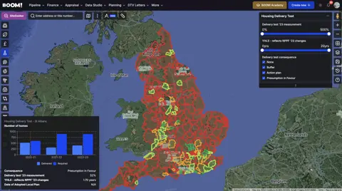
- Check the council’s housing position. The five year supply and Housing Delivery Test decide whether the unmet need route is open outside the line;
- Interrogate a cheap price. Land outside a boundary is usually cheap for a reason that policy will repeat back to you. If the reason is the council’s housing position, that can change; if it is access, flood risk or a designation, it will not.
Working the line rather than avoiding it
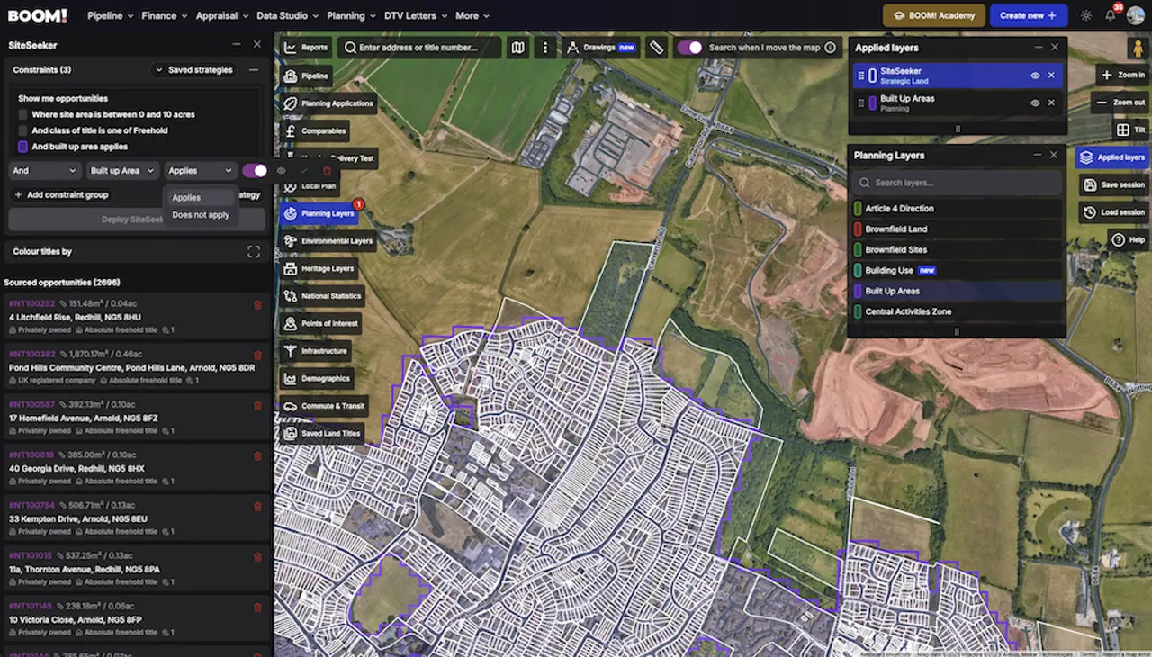
Treating the boundary as a wall costs you the two most productive searches there are: infill inside the line, and well-related land just outside it. BOOM! maps settlement boundaries as a data layer and as a SiteSeeker constraint, so both are a filter rather than an afternoon with a PDF.
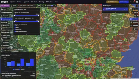
Start with how planners actually apply a settlement boundary, then read why the fringe is worth searching once you know which districts are short on housing.